


There are so many different things that can be done in the broad Gondwana Link area. We can’t do them all, and not all of them will make a lasting difference. We strongly support effective planning and strategy development that focuses effort into those key actions which achieve fundamental change. Ideally, good planning enables a mix of groups and individuals to coordinate their efforts for maximum benefit. Hard-nosed planning and good monitoring – so we know what works best and what doesn’t – are critical steps in the work of achieving Gondwana Link.
Planning
Gondwana Link stretches across 1,000 km and encompasses an impressive array of different ecosystems. Many areas have a catchment or landcare group that take a lead role in biodiversity conservation, working with a wide range of other organisations and individuals.
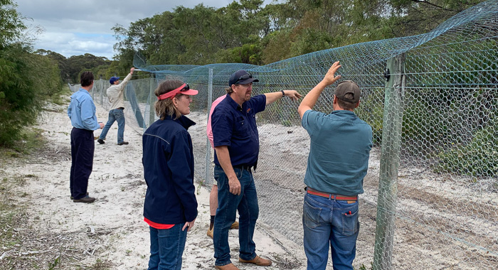
Each region has different features, values and sources of ecological stress. The fragmented habitat within farmland in the central link has, of course, very different needs from the intact temperate woodlands to the east or the forest to the west.
Gondwana Link has found funding for and facilitated the development of conservation action plans and healthy country plans for a number of areas across the link. This planning process is an ongoing practice which involves a team of local, committed, knowledgeable people, together with outside experts, working to:
- Take a big picture approach to achieving change;
- define explicit and measurable goals and objectives;
- determine how the plan will be implemented and monitored;
- analyse the monitoring data and use the results to adapt approaches; and
- capture, share and use what is learnt along the way.
Gondwana Link have adopted the internationally accepted Open Standards for the Practice of Conservation approach to undertake ecological planning. This methodology was also been used to embed cultural values into a number of plans.
The conservation action plans give the ‘what we want to do’. To then determine ‘where we should work first’ we use a spatial planning and prioritisation system called MCAS-S (Multi-Criteria Analysis Shell for Spatial Decision Support), a process which allows the planning team to define the data which best supports the spatial prioritisation and to very quickly see on maps the effect of different planning decisions and data inputs.
As effective as these planning programs are, they do take time and effort. With many local groups hard pressed for time and cash, we do have difficulty supporting an ongoing collective planning approach.
Monitoring and measuring success
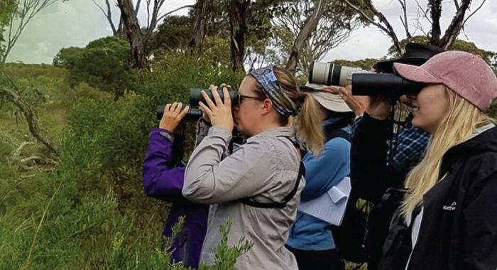
Monitoring is underway at a number of scales and with a number of objectives. Individual actions, like replanting a paddock or controlling cats and foxes, are monitored to ensure they are achieving their specific objective. Conservation action plans have integrated monitoring strategies that cover the main strategies for that area. Then there is the challenge of bringing the monitoring at the different scales together to show overall progress across the Link.
Ecological monitoring is one of the needs but there is also social aspects to the work. Are we communicating well, is the network functioning optimally, are we making the social changes needed to stimulate support for the work?
We have worked with a wide range of colleagues to develop standardised monitoring methods which facilitates the comparison and amalgamation of data. It’s a work in progress, and probably always will be, but we are getting a clearer picture of change all the time.